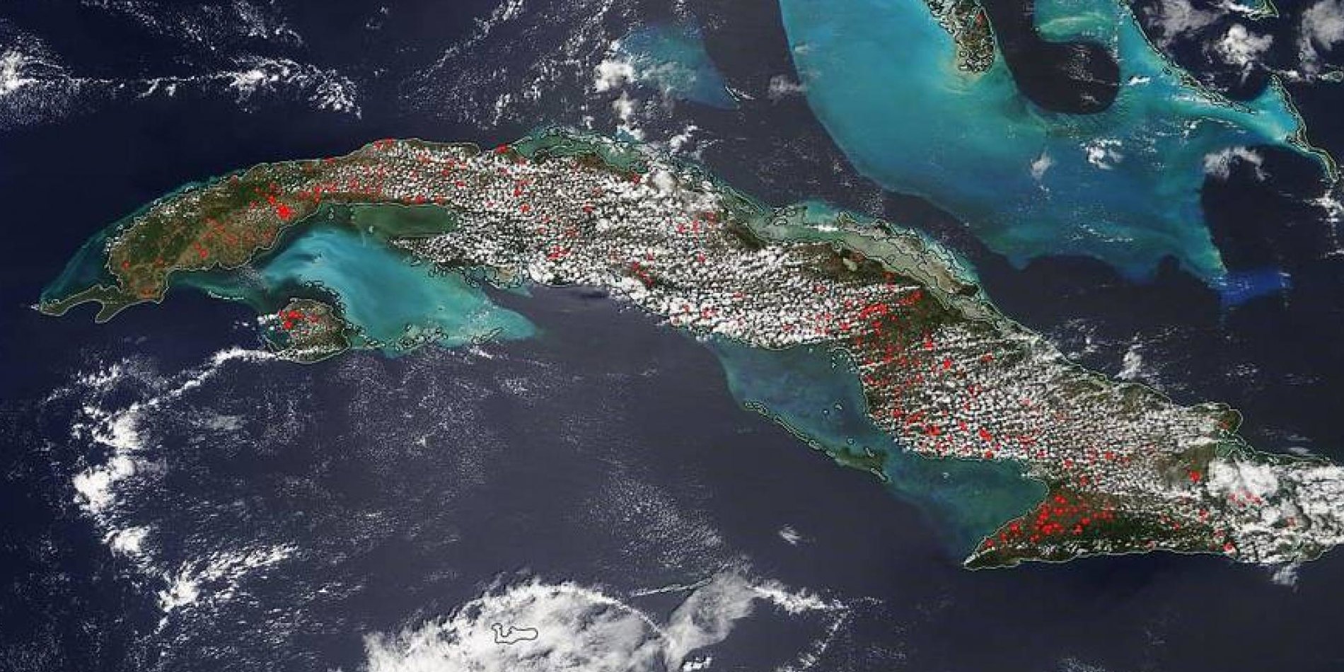
Satellite Tracking of Wildfires
Main content start

Project contributed by Zesty.ai
Early detection of wildfires and tracking their spread in real-time is extremely important for suppression efforts and resource planning. Unfortunately, current satellite based systems rely on looking at whether heat signatures are above a certain threshold – this results in many false positives (eg. industrial equipment and reflectance of solar panels can trigger these systems). Can you help develop a system that reduces false positives to improve early detection of fires and track their spread in near-real time?
Data sources:
- Current NASA fire detection system
- GOES satellite imagery
- MODIS satellite imagery
- Wildfire Perimeter Information (dates and locations of wildfires)