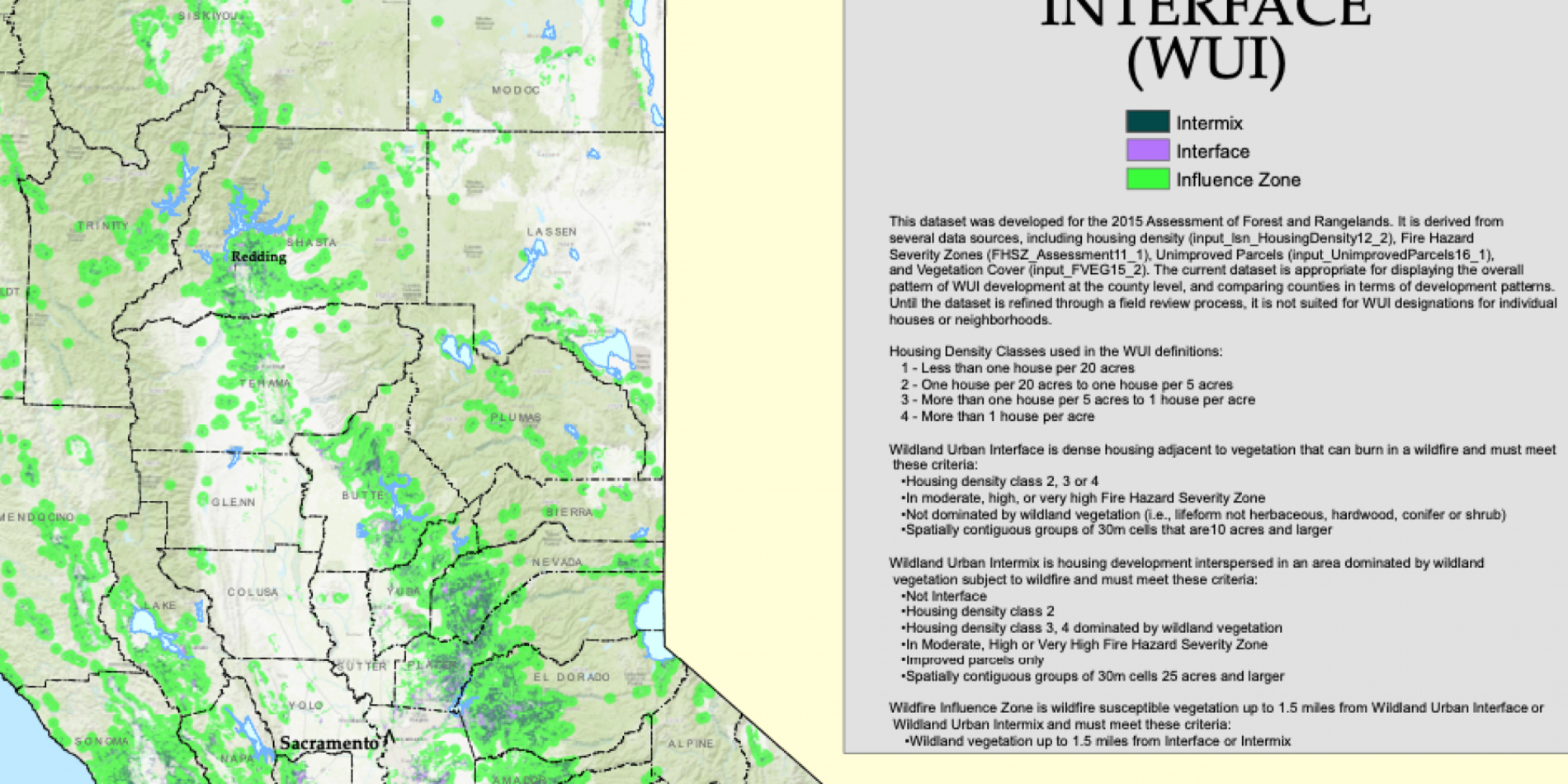
Geolocation based evacuation routes
Main content start

Produce an Evacuation Route Map or App
During the crisis moment of wildland fires, proactive and predictive evacuation plan with a real-time adjustable route is absolutely critical to saving lives.
Some essential data set to consider include but are not limited to...
- Population (including demographic)
- GIS map data
- Weather
- Traffic (such as Caltrans, CHP published real-time traffic data and Google WAZE application data),
- Local events data
- Social media data (FB, Twitter, and ….)
By ingesting those data, apply machine learning, and use a prediction model to simulate a dynamic evacuation flow and route.