Machine Learning/AI Capabilities: using satellite- and sensor-based wildfire data to improve impact tracking
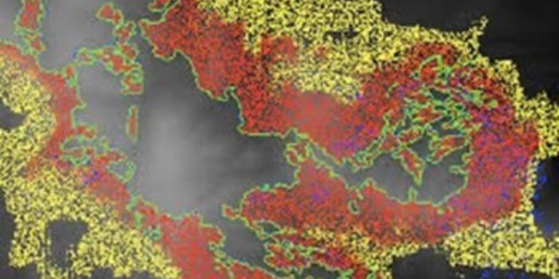
For decades, satellite systems and other remote sensing technologies have provided critical data points and analytics in the detection of wildfires and real-time tracking of fire spread. Since satellite-based systems are extremely important pre-, during-, and post-wildland fire incidents, there remains a need to improve data interpretation and combine with other datasets to produce actionable information about risks and impacts to local populations.
- How can we use ML/AI with satellite and/or other wildfire-specific data sources to identify and assess second and third level impacts to further detail populations at risk? What new solutions can you develop?
- What machine learning, AI, or geofencing technologies can be leveraged to track downstream wildfire impacts?
Can you develop an alert or triggering system which informs local communities about certain downstream hazards or potential impacts from a wildfire incident?
Can you develop an algorithm, application or tool that provides advanced indicators of 2nd or 3rd level impacts from wildland fires? Utilize a variety of datasets (air quality, soils, vegetation types, population, etc.) and satellite remote sensing technologies (fire spread, burnt areas, debris flow, etc.).
- Great resource listing satellite remote sensing resources for wildfire:
https://earthdata.nasa.gov/learn/pathfinders/wildfire-data-pathfinder
[Forestry and USGS]
Spatial wildfire occurrence data for the United States, 1992-2018
https://www.fs.usda.gov/rds/archive/Catalog/RDS-2013-0009.5
Wildfire Risk to Communities: Spatial datasets of landscape-wide wildfire risk components for the United States
https://www.fs.usda.gov/rds/archive/catalog/RDS-2020-0016
Community zones for assessing wildfire exposure in the United States
https://www.fs.usda.gov/rds/archive/catalog/RDS-2021-0046
Emergency Assessment of Post-Fire Debris-Flow Hazards (US Geological Survey)
https://landslides.usgs.gov/hazards/postfire_debrisflow/
[Remote Sensing]
NASA Fire Information for Resource Management System (FIRMS)
https://firms.modaps.eosdis.nasa.gov/map/#d:24hrs;@-110.1,36.0,6z
GlobFire Daily Fire Event Detection Based on MCD64A1
https://developers.google.com/earth-engine/datasets/catalog/JRC_GWIS_GlobFire_v2_DailyPerimeters
MOD14A1.006: Terra Thermal Anomalies & Fire Daily Global 1km
https://developers.google.com/earth-engine/datasets/catalog/MODIS_006_MOD14A1
MYD14A1.006: Aqua Thermal Anomalies & Fire Daily Global 1km
https://developers.google.com/earth-engine/datasets/catalog/MODIS_006_MYD14A1
links for wildfire protection-related topics:
https://www.doi.gov/wildlandfire/wfit
https://www.tabletcommand.com/
https://www.forestsandrangelands.gov/WFIT/applications/IRWIN/index.shtml