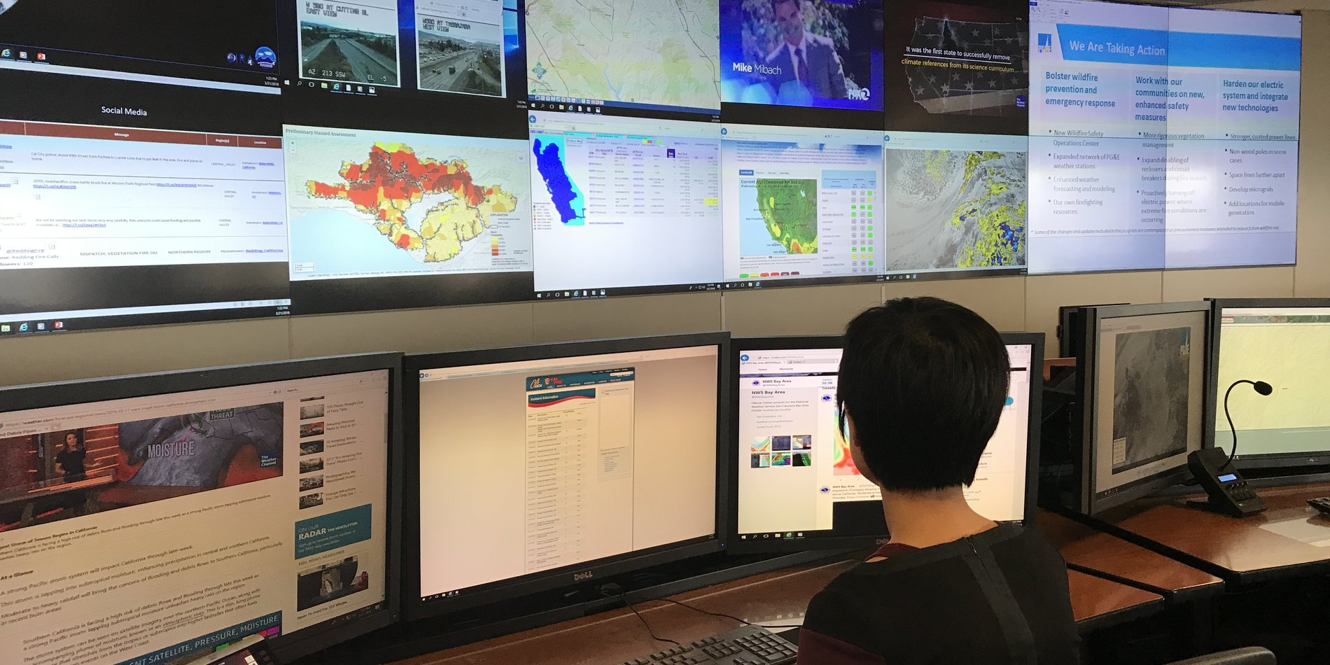
Worldwide High Fire Threat District (HFTD Map)
In May of 2015, the California Public Utilities Commission (CPUC) outlined the objective to create a High Fire Threat District (HFTD) map for California. In January of 2018, the Wildfire Safety Division (WSD, later the Office of Energy Infrastructure Safety or OEIS) adopted the initial HFTD map and outlined the rules for each of the tiers. The HFTD map combines the likelihood and potential impact of fires: Tier 2 locations are areas of potential high ignition and spread risk; Tier 3 areas have high ignition risk like Tier 2 but have higher potential consequence. The HFTD map continues to be a living document. The CA HFTD map is used by a variety of stakeholders from utilities, state and local governments, emergency services, land planners, and a variety of others and it would be beneficial to expand this into a worldwide HFTD map to support wildfire risk identification by any organization or individual.
Can you create a worldwide fire-threat map, with the following considerations?
- Terrain – topography driven features can create localized wildfire spread consequences through increased localized wind speed or gusts (e.g., canyons, valleys), for example the Feather River Canyon in CA;
- Fire scars – show the history of where ignitions have occurred. Given the high rate of fires in repeated locations, fire scars provide the right starting point for future likelihood of fires;
- Vegetation – vegetation layers provide insight into what is currently burnable, and the potential impact of a fire-based on volume and type of vegetation;
- Fuel moisture – fire risk increases as fuel moisture decreases, and real-time assessment of fuel moisture levels changes the risk profile at a given location
The four factors above have been provided in the sequence based on how frequently changes happen; for example, terrain does not change, fire scars will be updated every fire season, vegetation is based on annual growth cycle driven by rain, species, and soil conditions; fuel moisture is the most dynamic and can change from week to week or day to day depending on drought conditions.
Given the above four criteria, the combination needs to be aggregated at an appropriate geographic area and the risk score for the geographic area provides the dynamic view of fire risk at any point in time. The frequency of refresh would be determined after studying the four factors.
The value of the global map is that as climate change is felt in different parts of the globe, the situational intelligence obtained from one location that has experienced a wildfire can be quickly transferred to other locations that now face a similar risk. For example, California’s experience moving north into Oregon, Washington, and British Columbia.